Luberon Gravel
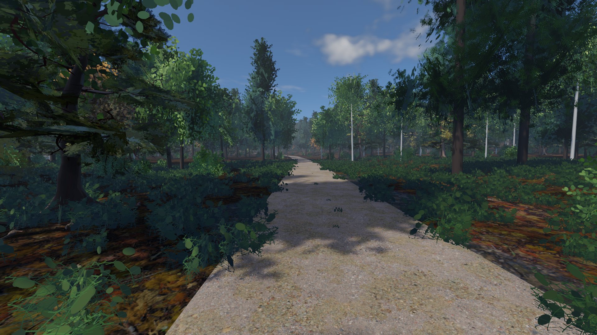
Fire road over the Luberon: one five-star sector of fourteen kilometres, a Cat 2 out of the valley and a dirt kick to finish.
- 18.2km
- distance
- 873m
- climbing
- 87%
- unsealed
- 24%
- steepest
- ~1:10h
- at 180 W
Real tracks and real climbs, drawn from the map and the land survey. Your trainer feels the gradient and the ground under your tyres; every unsealed sector is timed and rated, and there is a crowd at the top.
Most indoor riding is a smooth road with a number on it. Col de Berg reads the surface of every metre off the map, and hands it to your trainer with the gradient.
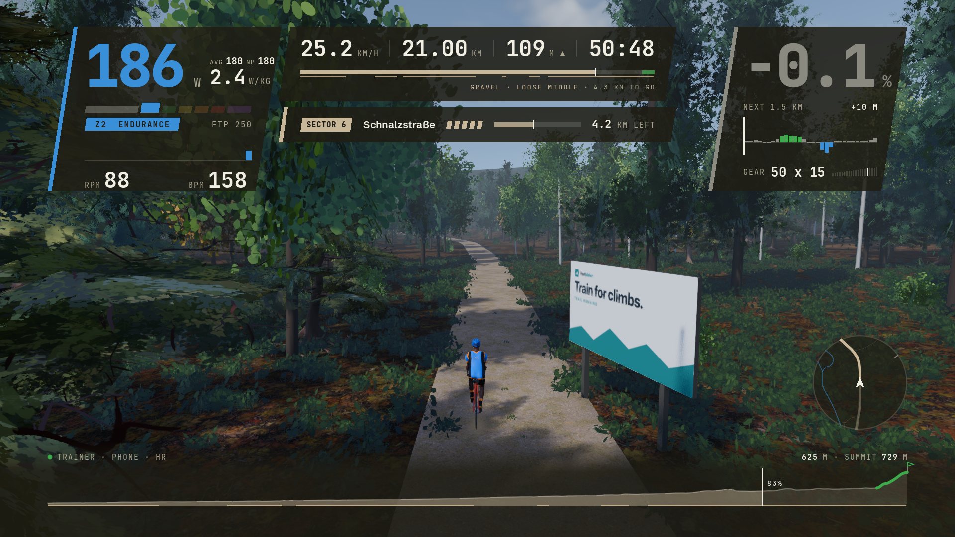
Compacted, gravel, dirt and grass each roll differently; wider tyres roll them better. Every run of unsealed road is a sector with a name, a surface, a one-to-five star roughness rating and a time. You choose your line across it, the wheel track, the loose middle or the grass edge, and on a loose descent you ease off before the bend rather than in it.
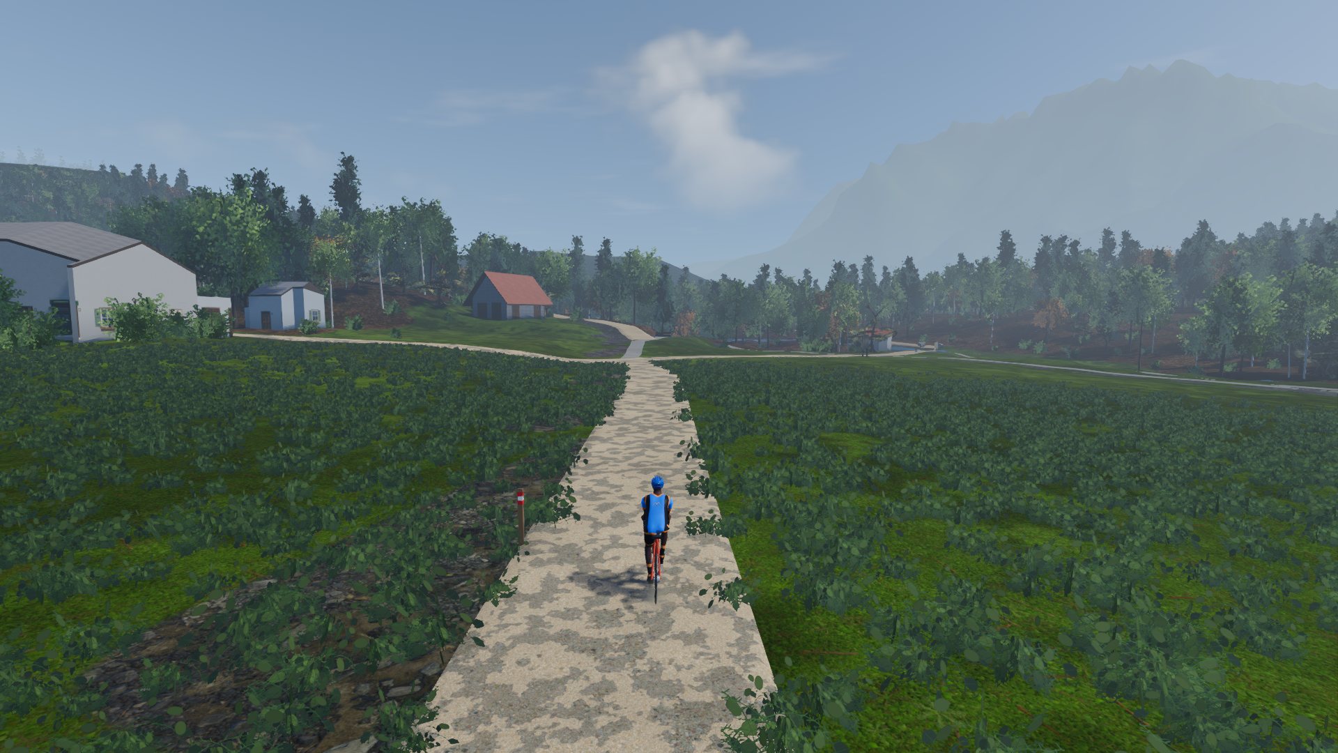
Where the map calls a road a track, it is one, and where it says asphalt, it is asphalt. The Isar loop is half sealed. The Luberon is not.
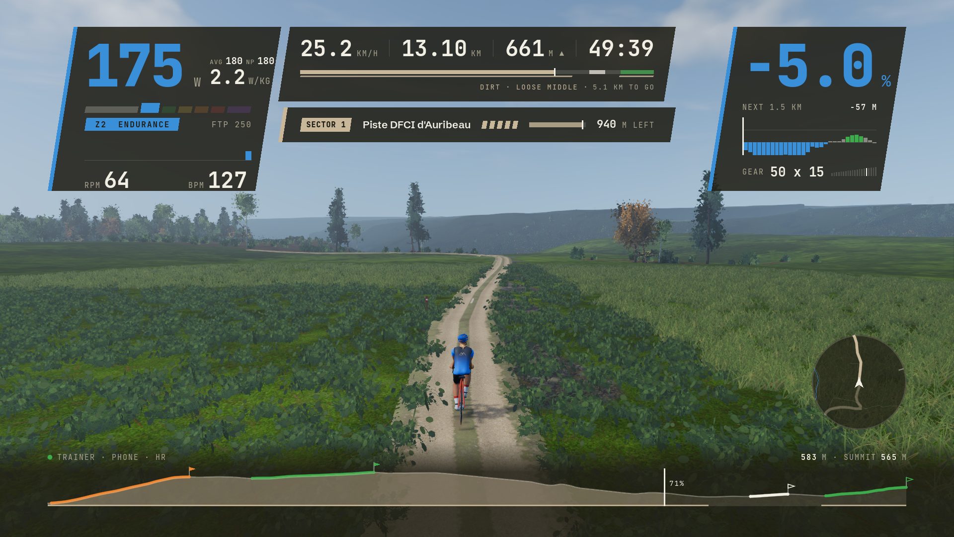
Five per cent down a dirt double track, out of the woods and into the open, riding the loose middle with the sector card counting down its last 940 metres. This is the Luberon's Sector 1, and the shape of the whole game.
Chase, cockpit, side, trackside and overhead, none of which rolls with the bike. Put the HUD away, or step into photo mode.
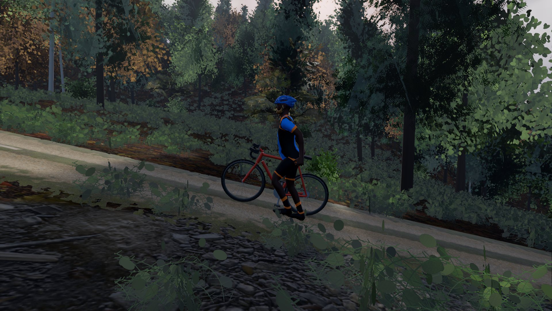
On any climb that gets too steep, walk. Walked metres never count as ridden, and how far you got before you stepped off still goes on the board as your go at it.
The ridgeline above is not decoration. It is the four roads in the catalogue, drawn on one height scale: the Luberon in front, the Isar at the back.
In Bavaria and Austria the ground comes from the states' own one-metre lidar surveys. The global terrain tiles they replace overstated the climbing by a third or more on every Bavarian road we measured, so the number on your climb card is the number on the road. The mountains stand twelve kilometres out.
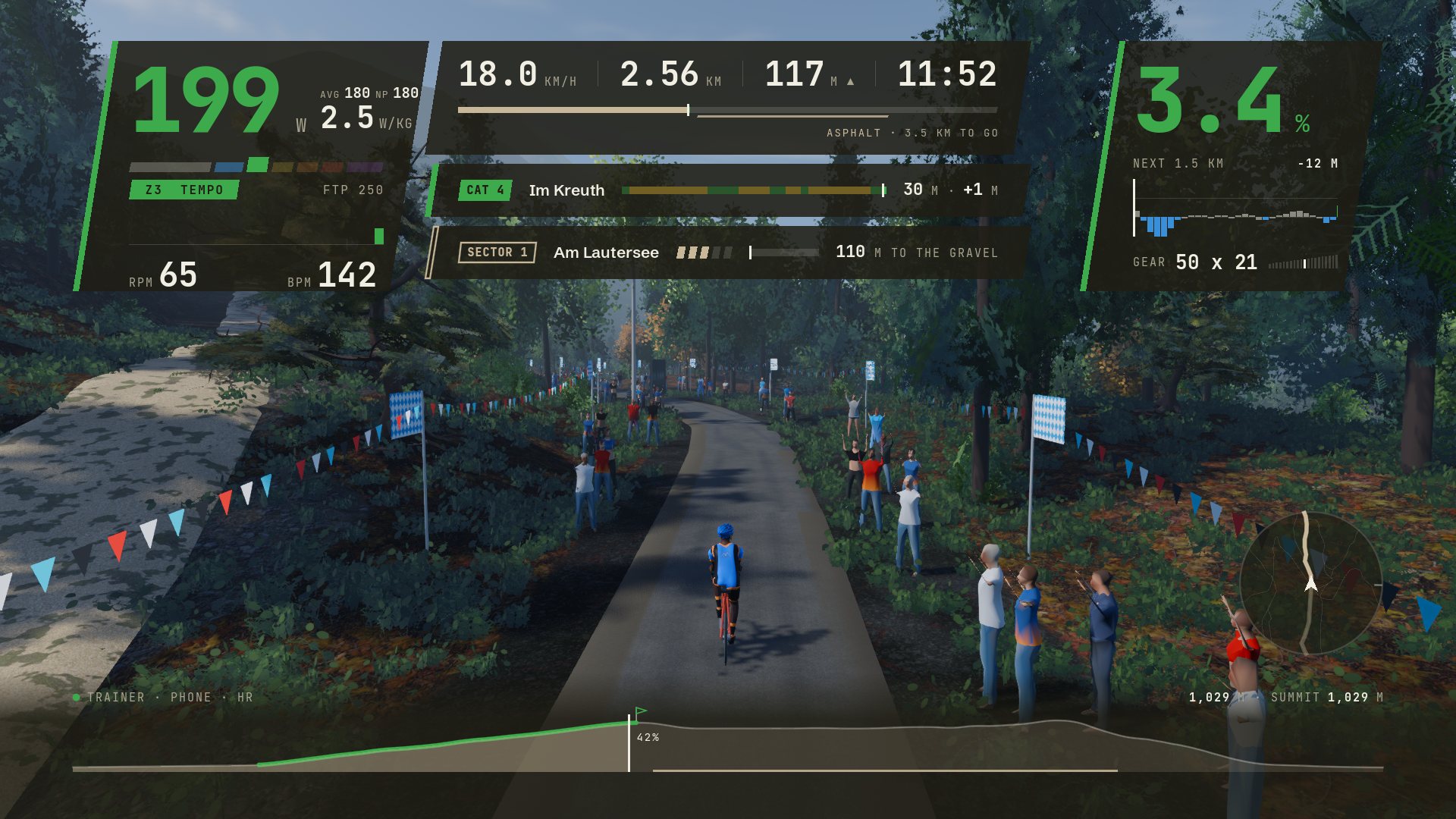
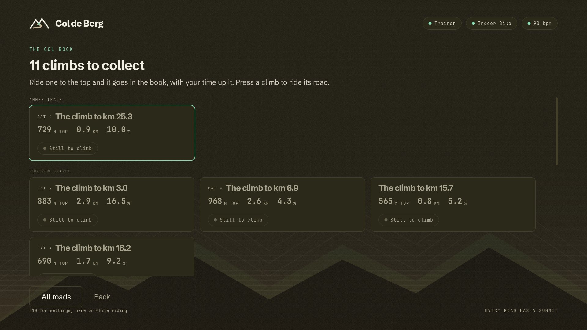
Climbs are categorised the way you know them, Cat 4 to HC. Every one you ride to the top goes in your col book: when you first got there, how often, and your best time up it.
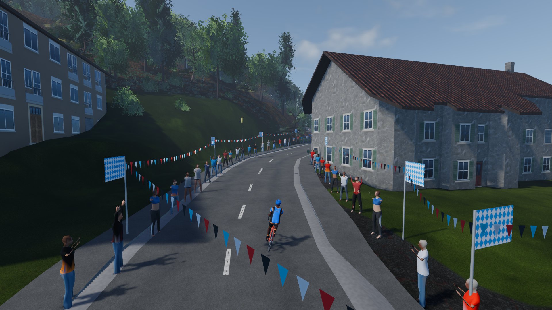
In Bavaria every building comes from the state's 3D model: its footprint, roof, eaves and ridge, and what it is for, so a barn is drawn as a barn. Fans line the villages, the sector mouths and the run-in to the finish, in the region's colours.
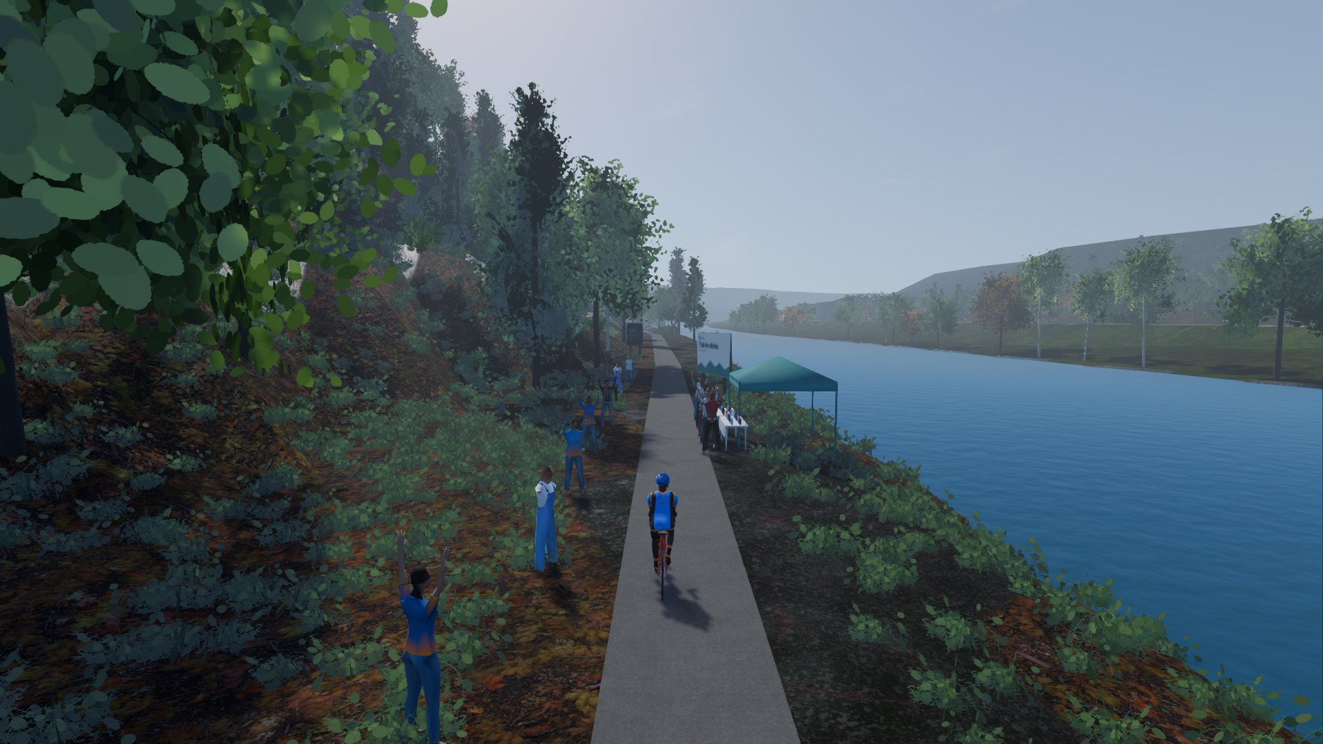
About every twelve kilometres: a tent, a table of bottles and a sign in the local language, on flat ground off the road. Your rider takes a bottle on the way through.
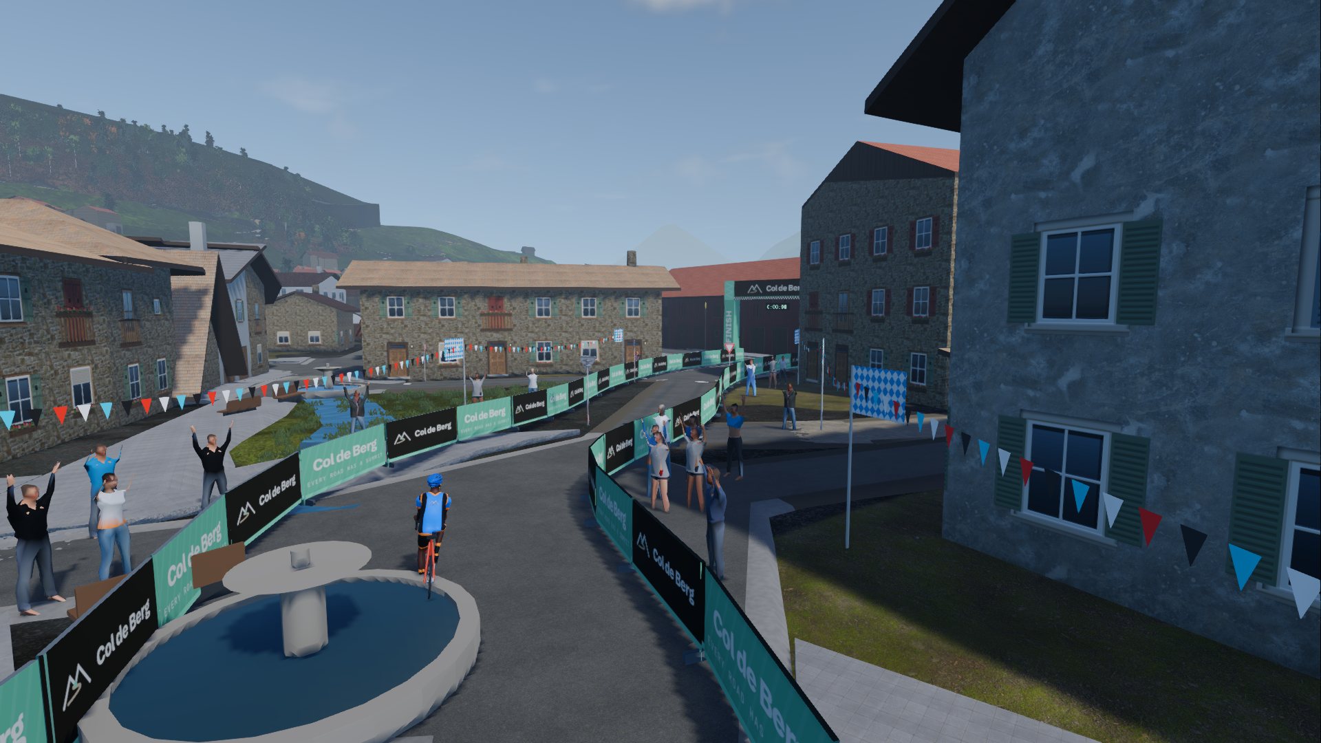
Barriers, the arch, the flamme rouge a kilometre out. Arms come up as you cross the line, and a ride to its end holds there before the summary.
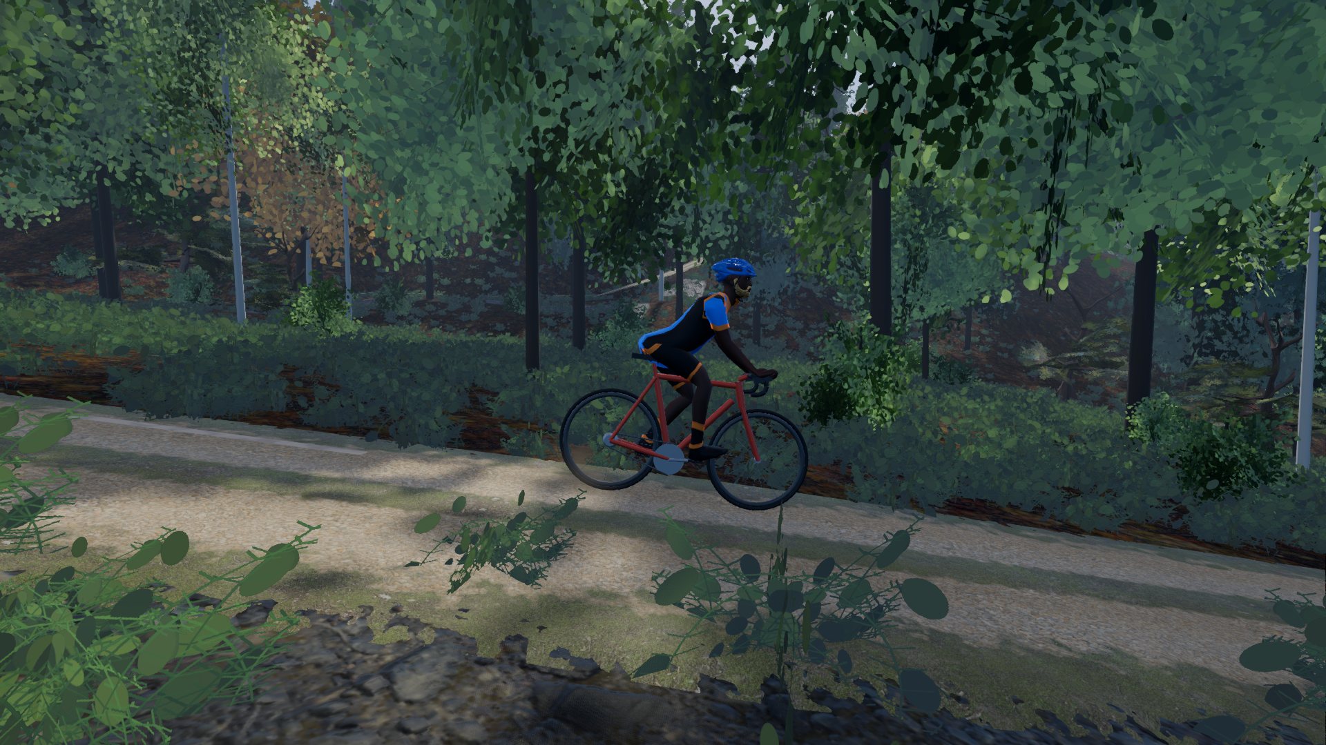
Your rider moves as cyclists were measured to move: out of the saddle on the ramps, on the drops to descend, drinking on the flat, tiring as the ride goes on.
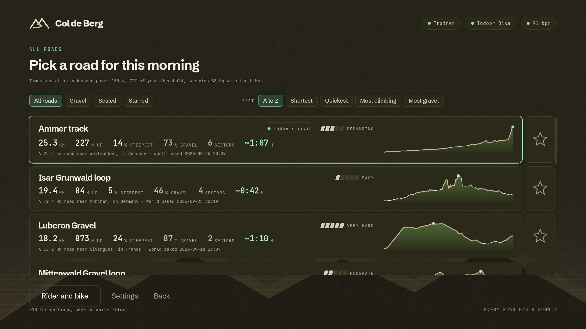
No baking on your machine and no waiting. The four in the catalogue today, with the figures the game shows before you ride. Times are at 180 W, carrying 87 kg with the bike.
Fire road over the Luberon: one five-star sector of fourteen kilometres, a Cat 2 out of the valley and a dirt kick to finish.
Along the Ammer on tracks and forest roads, six sectors, and a five-star gravel finale up to the plateau.
Out of Mittenwald under the Karwendel: Im Kreuth, then gravel round the Lautersee.
South of Munich on the Isar's banks: four sectors of compacted and gravel path, and hardly a hill.
Profiles drawn to one height scale, so the Luberon is the mountain it is. Plans north up. Map data © OpenStreetMap contributors.
Col de Berg leans on indoorbike.app, the free and open source app that already runs your trainer: pairing, resistance, safety limits, the session, and export to Strava and Intervals.icu. The two talk over your home network, and nothing about your ride leaves the house unless you export it.
Your phone runs indoorbike.app and connects to your smart trainer and heart rate strap. Col de Berg finds it on the network and pairs in one tap.
Every road shows its distance, climbing, gravel and steepest ramp, is rated from easy to very hard, and says roughly how long it will take you at your own endurance pace.
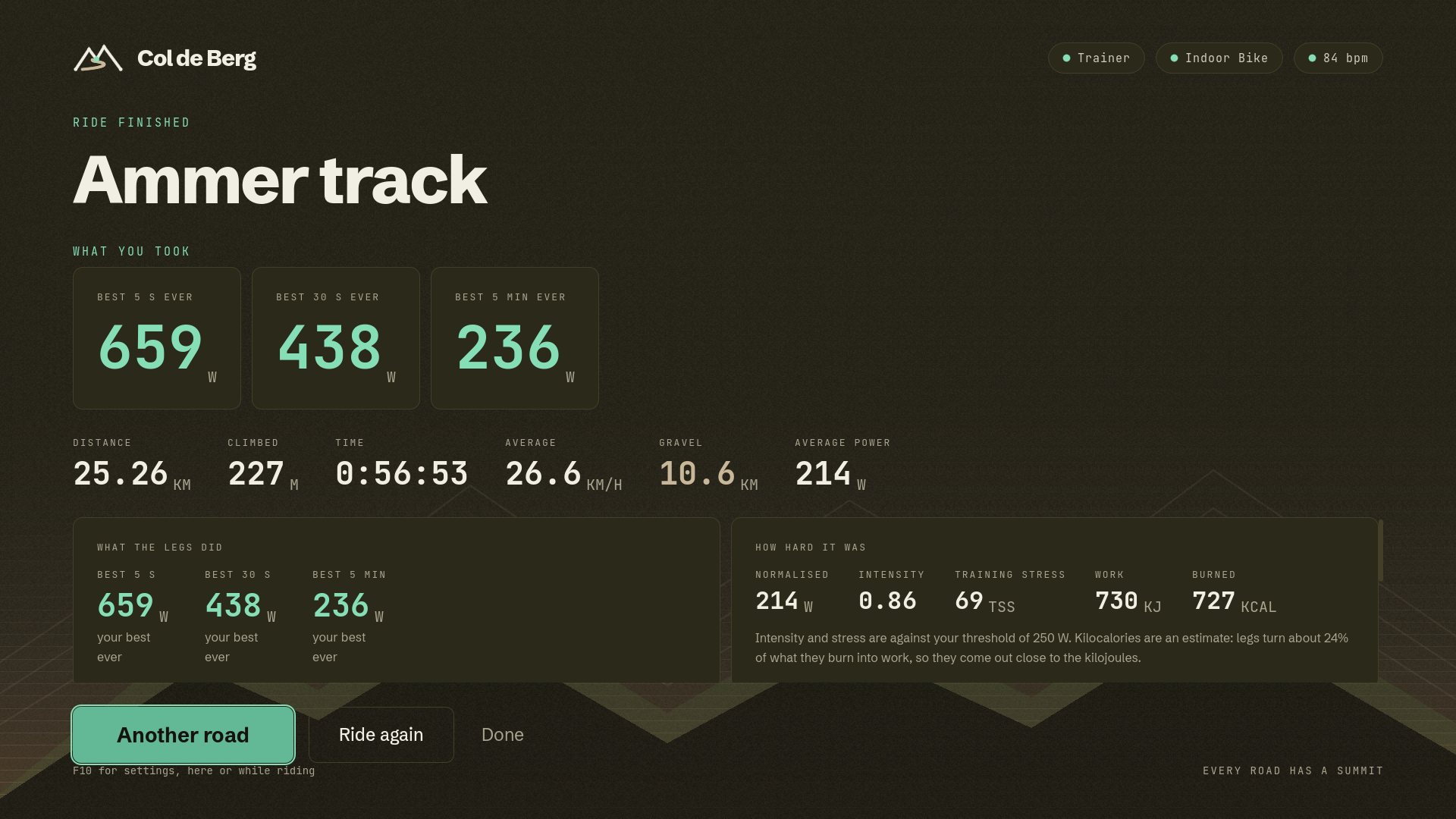
The trainer takes the gradient and the surface. Sectors and climbs are timed as you go, every summit goes in your col book, and the ride leaves for Strava or Intervals.icu when you finish.


Leave your email and we'll write once, when the beta is ready to download. Free during the beta.
Your smart trainer, your phone, nothing in between. The free, open source app Col de Berg rides on.
indoorbike.app VertMatchMeasures the climbing in your trail runs: every climb scored, a shared database of 69,000 real climbs, and where you stand before a race.
vertmatch.run Open TerrainThe home of these apps, and of the open map, elevation and survey data they are built on.
openterrain.euCol de Berg is made by Snapp Technology, a European product studio. We build our own products and take client projects.